Ireland Digital
Digital versions of 1:210,000, 1:450,000 & 1:600,000 Scale Mapping
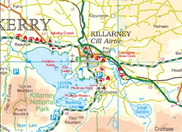
The 1:210,000, 1:450,000 and 1:600,000 all Ireland products (in association with Ordnance Survey Northern Ireland (OSNI) / Land & Property Services (LPS) are reproductions of our data as represented on the published paper versions of these products.

The 1:210,000 data is supplied in tiled format as geo-referenced TIFF images in both Irish Grid (IG) and Irish Transverse Mercator (ITM). It represents Irelands up-to-date Road Network including 738 kms of motorway, toll areas, speed cameras and speed detection zones.
The 1: 450,000 & 1:600,000 maps are available as geo-referenced TIFF images in both IG and ITM.
Uses
Ideal for background within a GIS application, these small scale datasets will allow you to drill down through the different view scales to the large scale detail below.
For further information or to purchase an Ireland Digital product or Extract contact digitals@tailte.ie . Paper editions are also available in our online store or by contacting mapsales@tailte.ie.
